We are very proud to invite you all to the conference “Mapping the Mediterranean. Innovative approaches to historical cartography (13 th -20 th century)” that will be held on the 26th-27th of May 2025 at the Museum of Geography, in Padua.
Participation is free but registration is required through this –> registration form <–
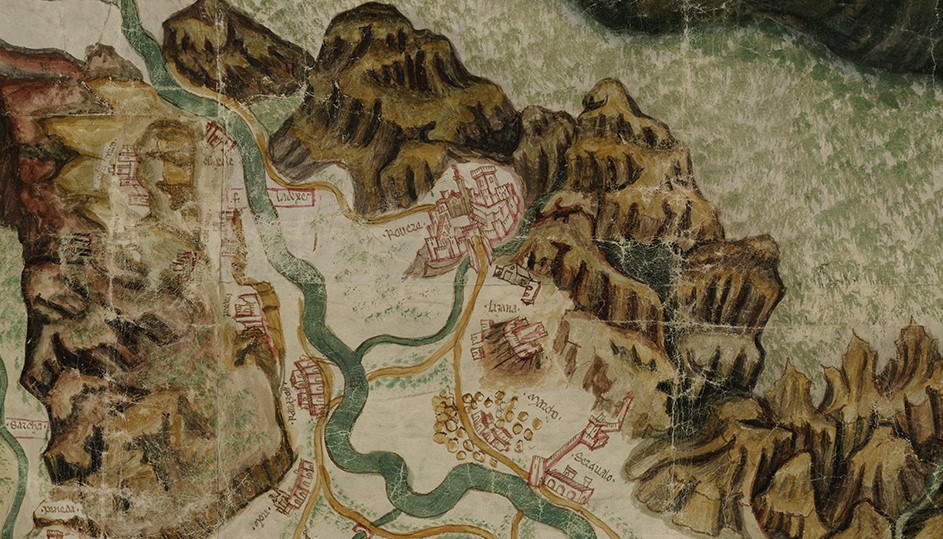
Borders on the move, exploding mountains, flooded plains, seas to explore: what do these things all have in common? They can all be explored through historical cartography, a source which provides a spatial record of real and imagined events across numerous historical periods. Today, these can be studied through various approaches ranging from GIS and cartometric analysis to critical cartography. This conference will explore a selection of these approaches in the context of the regions bordering the Mediterranean, particularly research conducted by Italian and Croatian scholars covering the period from the second half of the 13th century to the first half of the 20th century. The program includes a guided tour of the Museum of Geography, the cartographic collection of the DiSSGeA and the historical centre of Padova on the first day. The second day will be dedicated to the lectures held by eight speakers, about 45 minutes each, comprising a presentation and a following discussion. A reservation is required to join the event since spaces are limited. The event will be held in English.
ITALIAN SUMMARY
Confini in movimento, monti che esplodono, pianure che si allagano, mari da esplorare: cosa hanno in comune? Essere raccontati attraverso la cartografia storica, che ha voluto lasciare una traccia spaziale degli avvenimenti reali e pianificati in diversi periodi storici, oggi studiati attraverso un ventaglio di approcci che spazia da analisi GIS e cartometriche alla cartografia critica. Il convegno approfondirà una selezione di questi approcci nel contesto delle regioni che si affacciano sul Mediterraneo, attraverso le ricerche condotte da studiosi italiani e croati che coprono il periodo dalla seconda metà del XIII secolo alla prima metà del XX secolo. Il programma prevede il primo giorno una visita guidata al Museo di Geografia, alla collezione cartografica del DiSSGeA e al centro storico di Padova. La seconda giornata sarà invece dedicata agli interventi tenuti dagli otto relatori, in sessioni da circa 45 minuti ciascuna, comprendenti la presentazione e la successiva discussione. Evento su prenotazione obbligatoria, numero posti limitati. L’evento si terrà in lingua inglese.
 Click here to download the program!
PROGRAM
Monday, 26 May
- 14.00-14.15 – Welcome speeches
- 14.15-16.45 – Tour of the Museum of Geography (Chiara Gallanti, Giovanni Donadelli – Museum of Geography), Tour of Ca’ Borin Library maps collection (Francesco Tricomi – Ca’ Borin Library, University of Padova)
- 17.00-18.30 – Padova’s cartographic walk (Silvia E. Piovan, Ludovico Maurina, Leonardo Mora – University of Padova)
Tuesday, 27 May
- 09.00-09.15 – Opening speeches
- 09.15-13.00 – First session (chair: Silvia E. Piovan – University of Padova)
- The forensics of the origin of spatial data underlying portolan charts and the significance of cartometric analyses (Tome Marelić – University of Zadar)
- War beneath the peaks: a GIS-driven geomorphological study of World War I mine warfare in the Dolomites (Maria Petriccione – University of Padova)
- 11.00-11.30 – First coffee break
- Using Historical Maps to Study Long-Term Land Use Changes: a case study from littoral Croatia (Ante Blaće – University of Zadar)
- From cartography to landscape: assessing an index of war impact on former battlefields (Leonardo Mora – Doctorate School GeStA – UniPD, UniVE)
- 13.00-14.15 – Lunch
- 14.15-18.00 – Second session (chair: Ante Blaće – University of Zadar)
-
-
- From Sea to Script: The communicative role of nautical charts in the Early Modern Adriatic (Julijan Sutlović – University of Zadar)
- You can teach an old map new tricks. Practices and challenges in using historical cartography within GIS (Chiara Lo Destro – University of Trento)
- 16.00-16.30 – Second coffee break
-
- Following the traces of watermills through historical maps from the 18th century to the present: the case study of Miljašić Jaruga stream in Dalmatia (Croatia) (Ludovico Maurina – Doctorate School GeStA – UniPD, UniVE)
- A WWI planned flood in the Northern Italy: Modeling population displacement from WWI historical maps and GIS (Silvia E. Piovan – University of Padova)
- 18.00-18.15 – Closing remarks
Participation is free but registration is required through this –> registration form <–